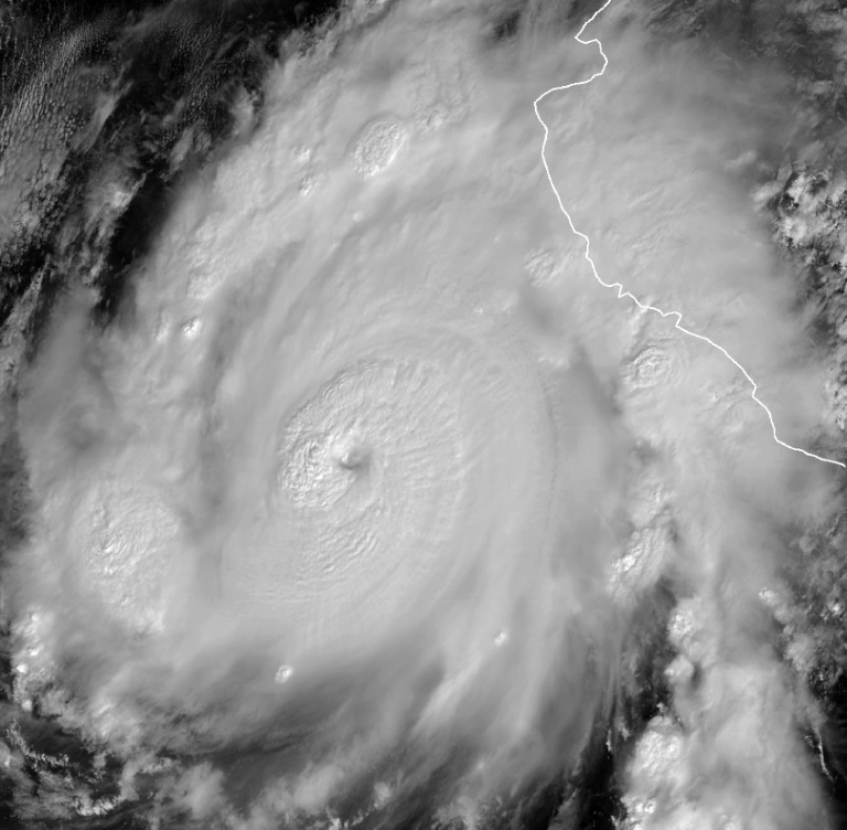
Hurricane Roslyn hit Mexico’s Pacific coast Sunday as the storm built up over the weekend.
Roslyn reached maximum sustained winds of 130 mph and made landfall around 5:20 a.m. as a life-threatening storm surge with flooding rains and damaging winds, according to the National Hurricane Center.
The NHC said Sunday “damaging winds will spread inland along the track of Roslyn over west-central mainland Mexican through late this afternoon.”
“Roslyn is expected to produce a life-threatening storm surge with significant coastal flooding in areas of onshore winds through today,” NHC added.
The NHC warned that near the coast there could be “large and destructive waves.”
The heavy rainfall could also lead to flooding and landslides in rugged terrains areas of west-central Mexico.
Roslyn evolved into a Category 4 storm Saturday but downgraded to a Category 3 before it reached landfall. It had rapidly intensified in just 24 hours from Friday to Saturday morning, increasing speeds by 60 mph.
Roslyn is now moving northeast towards Tepic, Mexico, at 16 mph.
The NHC expects Roslyn to slow down more inland now that it has made landfall.
“Now that Roslyn has made landfall, rapid weakening is expected as the hurricane moves farther inland,” the NHC said.


